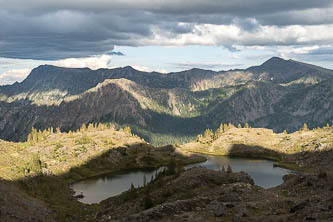
Trips
Favorite photos
Peak lists
References
Search
North Bend to Leavenworth
Date:
2019/08/10 to 2019/08/15
Car-to-car:
6 days
Round-trip distance:
106 miles
Elevation gain:
29,000 feet
Trip type:
hike
USGS quad:
Cashmere Mountain
In:
Alpine Lakes Wilderness
Loading map...
Day 1: Mount Si Trailhead to Old Trailhead Camp
I took Seattle Metro's Trailhead Direct bus to the Mount Si Trailhead
I started my hike at a National Recreation Trail! https://www.americantrails.org/national-recreation-trails
The CCC Road
The CCC Trail
Pacific banana slug
I hiked the Middle Fork Road instead of the Middle Fork Trail due to heavy rain and the landslide closure of the trail
Wood culvert on the side of the Middle Fork Snoqualmie Road
I got back on trail at Dingford
Bunchberry
Random shower in the woods. Perhaps installed by the owner of a nearby mining claim?
Old Trailhead Camp
Day 2: to Deep Lake
Dutch Miller Gap Trail
Huckleberries
Police car moth
Long live the Cascade Crest Trail!
Dutch Miller Gap
Lake Ivanhoe
Bridge over the Waptus River headwaters
PCT!
Camp near Deep Lake
Day 3: to near Josephine Lake
Me, The Citadel and sunshine!
Cathedral Rock
Hemlock shadow on a mushroom
Point 6,594' over the Glacier Lake basin
Nimbus Mountain and Slippery Slab Tower over Glacier Lake
Police car moth on a pearly everlasting
Porcupine
Stealth camp south of Lake Josephine
Day 4: to Index Creek
Goodbye, PCT!
Josephine Lake and the Icicle Creek drainage
Yum!
Chain Lakes Trail
Bulls Tooth over Chain Lakes
Doelle Lake
Sub-summits of Doughgob Mountain, which I traversed over.
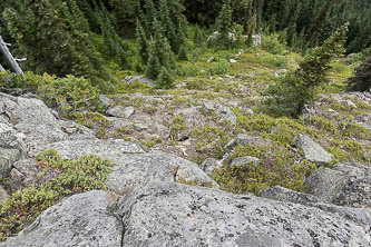
My traverse of the Doughgob ridge was neither nice nor terrible. I would try to follow the abandoned trail if I did it again.
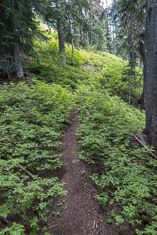
I was happy to be back on solid trail again
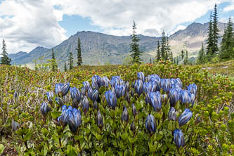
Gentians and Big Chiwaukum
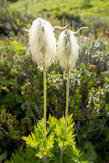
Pasque Flower
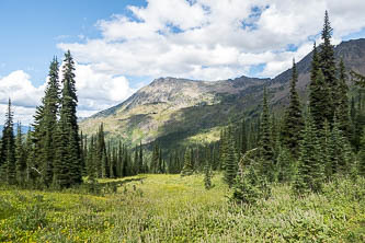
Big Chiwaukum
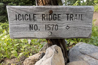
Home for the last 25 miles of my hike
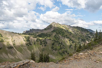
Cape Horn
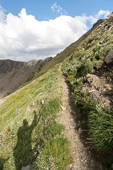
Big Lou and Big Jim Mountain over Edith Lake
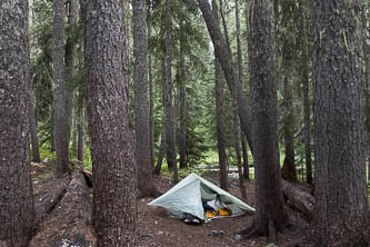
Camp at Index Creek
Day 5: to east end of Icicle Ridge
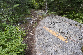
An Icicle Ridge Trail marking
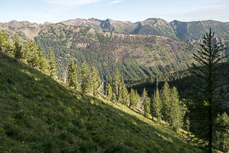
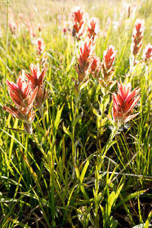
Indian paintbrush
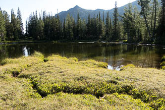
Carter Lake and a sub-summit of Big Jim Mtn
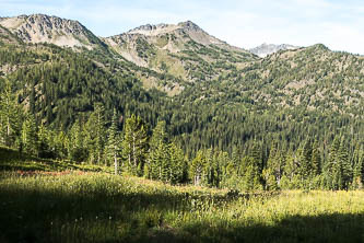
Frigid Mountain
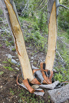
Bear breakfast?
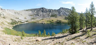
Lake Augusta
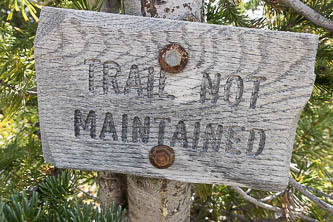
Take this seriously!
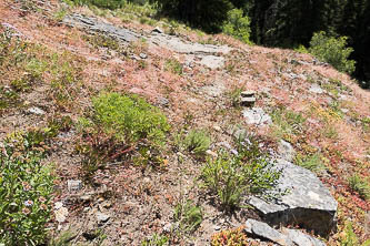
One of the more obvious parts of the abandoned trail on the way down to Cabin Creek.
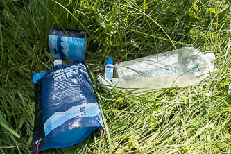
I tanked up on water since I wasn't sure if there would be any for the rest of the trip
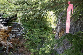
Thank you to whomever flagged the burn!
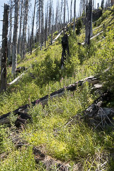
The burned area on the south side of the Cabin Creek valley. The Icicle Ridge Trail is obliterated here.
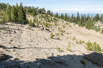
Icicle Ridge Trail
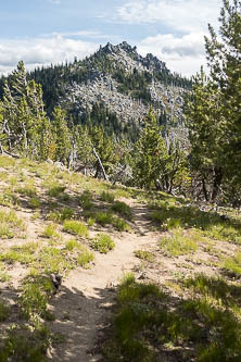
Icicle Ridge summit
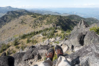
Sitting at the lookout site looking north at the ridge I just walked
Mount Stuart and Cashmere Mountain from the Icicle Ridge lookout site