Trips
Favorite photos
Peak lists
References
Search
Archer Mountain
Date:
2019/05/05
Car-to-car:
4 hours 36 minutes
Round-trip distance:
4 miles
Elevation gain:
1,800 feet
Trip type:
hike
USGS quad:
Multnomah Falls
In:
Columbia River Gorge
Loading map...
Our trailhead at the end of Smith-Cripes Road
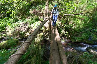
Cute bridge over Archer Creek
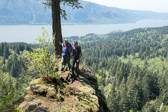
Columbia River viewpoint
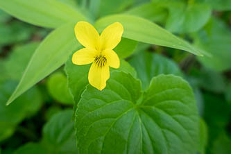
Wood Violet
Viewpoint SE of the summit
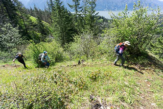
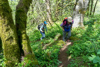
A bit of cross-country up to the summit
Near the summit
High Valley
Copyright © 2026 Gabriel Deal.
‹
›
×