At West Point, the western-most point of the Greenway
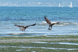
Juvenile bald eagles
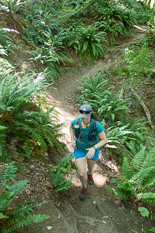
Discovery Park

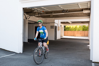
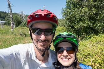
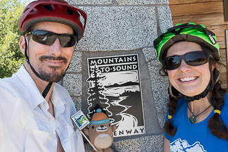
Live a great story
Day 2: to North Bend
Sammamish River Trail
On North Creek Trail at a northern-most point of the Greenway
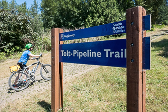
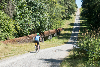
Tolt-Pipeline Trail
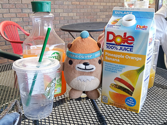
Beverage stop in Carnation
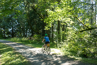
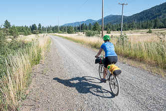
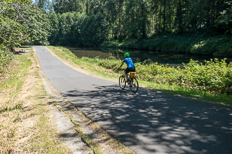
Snoqualmie Valley Trail
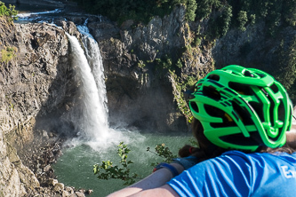
Snoqualmie Falls
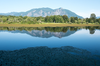
Mount Si over Borst Lake
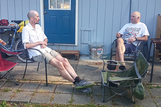
Our friends' home in North Bend
Day 3: to Cle Elum
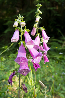
Foxglove
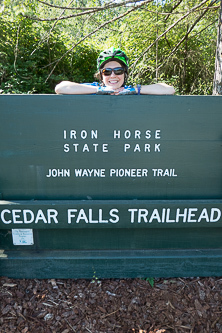
The start of the Iron Horse Trail
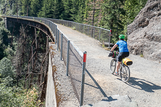
Trestle on the Iron Horse Trail
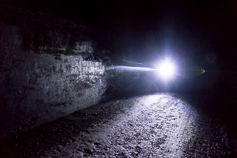
In the Snoqualmie Tunnel
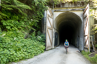
East end of the Snoqualmie Tunnel
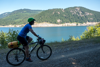
Keechelus Lake