Kachess Ridge and Thomas Mountain loop
I might not have chosen this for a trail run if I had realized the
condition of trail #1308.1 and the total amount of elevation gain.
Car-to-car:
5 hours 41 minutes
Round-trip distance:
14 miles
Elevation gain:
5,500 feet
The Silver Creek Trailhead
On the boot path leading up the the Kachess Ridge communications tower.
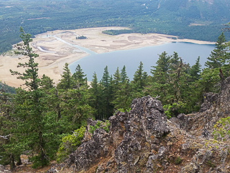
Kachess Lake
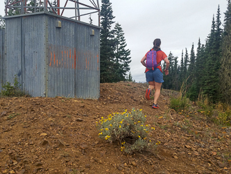
The Kachess Ridge communications tower ("Kachess Beacon").
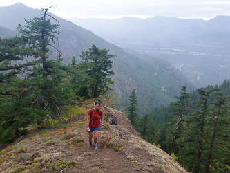
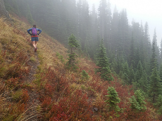
Running down Beacon Ridge Trail #1315.3.
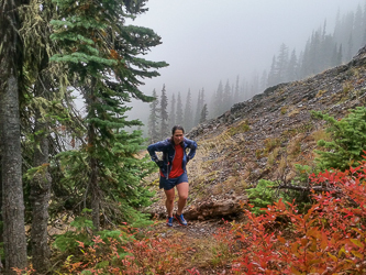
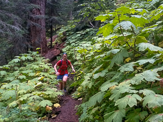
On Silver Creek Trail.
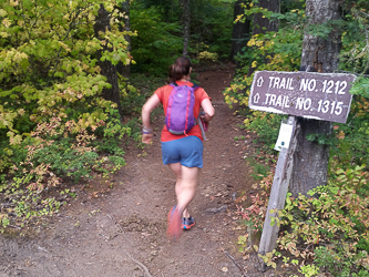
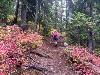
On the connector trail between the Silver Creek Trail and the Domerie Peak Trail.