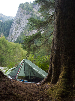
I took the D line bus to downtown Seattle, bus #554 to the Issaquah P&R, bus #208 to North Bend, walked through North Bend to the Mt Si Road, and hitched a ride to the Mt Teneriffe Trailhead (CCC Trailhead). I started hiking up the CCC Trail from there.
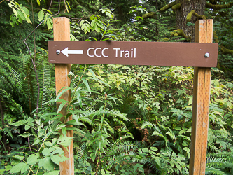
The CCC Trail
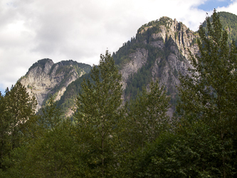
Sub-summits of Middle Mountain.
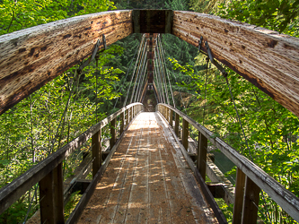
The bridge at the Middle Fork Trailhead.
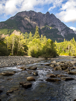
Mount Garfield over the Middle Fork Snoqualmie River.
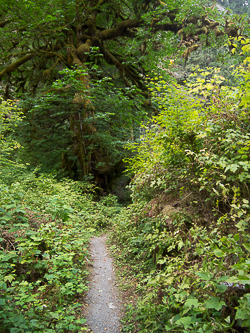
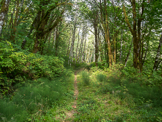
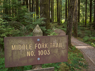
The Middle Fork Trail