Scatter Peaks loop
Scatter Benchmark: pleasant class 2. Middle Scatter Peak: easy class 3. Main summit of Scatter Peaks: 20 feet of low class 5 on solid rock.
Car-to-car:
9 hours 1 minute
Round-trip distance:
8 miles
Elevation gain:
4,200 feet
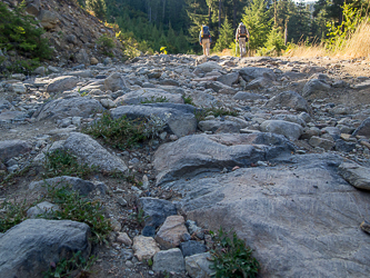
Road 160 was too rough for us, we parked after half a mile.
We left Road 160 where it crossed Scatter Pk's SW ridge.
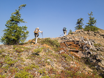
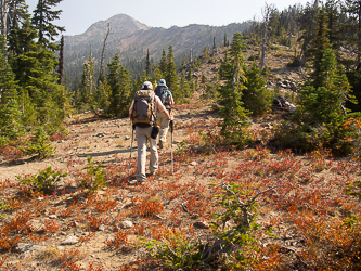
The SW ridge had a ATV trail for a short distance.
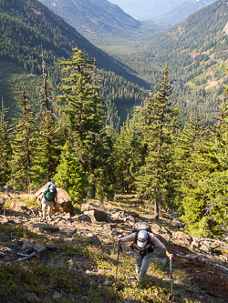
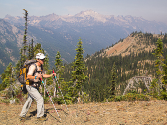
The Cle Elum River Valley from Scatter Pk's SW ridge.
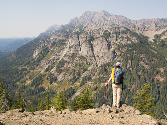
Goat Mountain with its summit in the smoke from wildfires.
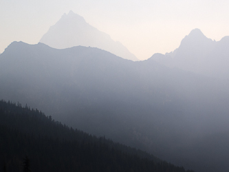
Mount Stuart through the smoky haze.
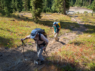
The summit of Scatter Benchmark in the distance.