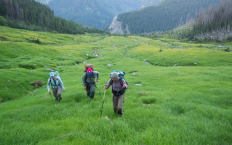
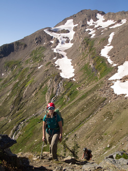
We missed the turn-off from the White River Trail to the Thunder Creek boot path on the first try. And we couldn't even find the fork from the Thunder Creek boot path onto the Luahna boot path, so we just headed up towards Luahna in the direction we though the boot path was.
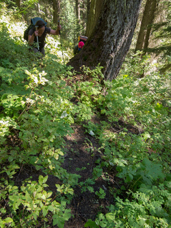
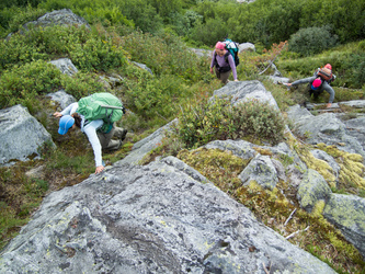
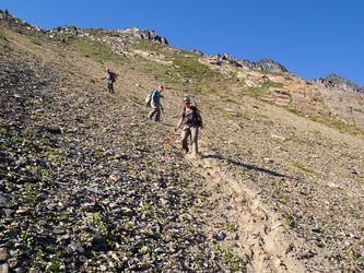
We finally did find the boot path up Luahna. Then we lost it. Then we found it.
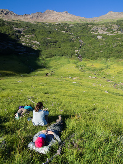
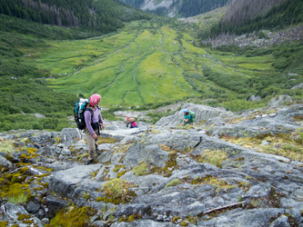
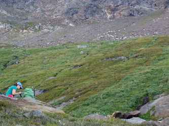
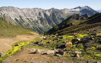
Lounging in the 5,000' basin on the south slopes of Luahna.
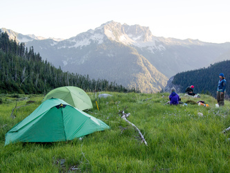
Our camp in the 5,000' basin. Mount Saul in the background.
Day 2
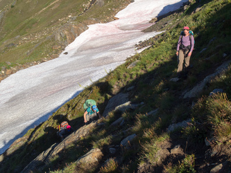
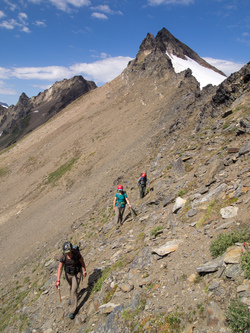
Ascending the NE slopes of the basin.
Bolt Peak and Indian Head Peak.
A herd of over 50 mountain goats hung out in the upper basin.
Indian Head Peak and Bolt Peak
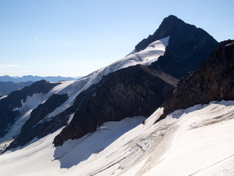
NW side of Clark Mountain
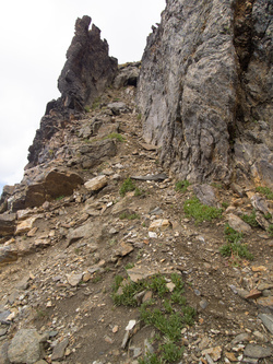
This gully seemed to be the easiest way to the summit of Luahna.
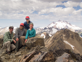
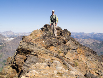
On the summit of Luahna Peak.
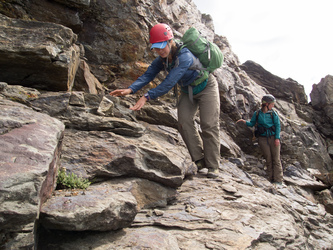
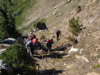
Descending the slabby ledges that lead up to the gully.
Luahna Peak
On the summit of Clark Mountain. I hurried up to the summit while the rest of the party continued traversing towards Boulder Basin.
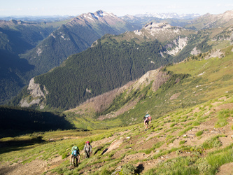
The SE slopes of Clark Mountain.
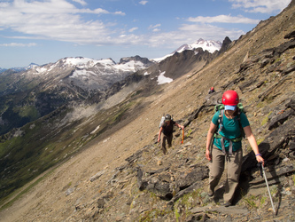
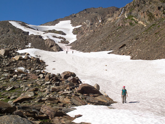
Ascending the gully at 7,200' that leads to Boulder Basin.
A last look at Clark Mountain's true summit before we drop into Boulder Basin.
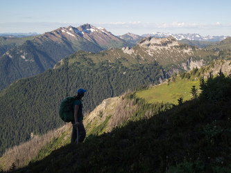
Boulder Basin and White Mountain.