We arrived at the notch just as this Mountaineers party of four was finishing roping up. They climbed the route in two pitches with a belay at the rap station on the ledge.
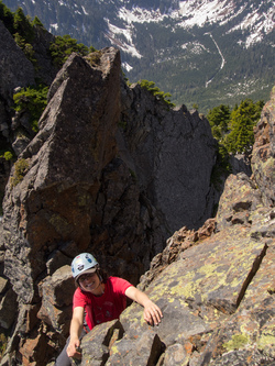
Yana and I scrambled the route.
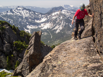
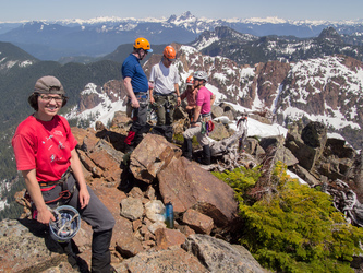
On the summit of Devils Peak.
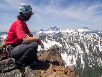
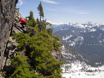
We brought a rope so we could rap from this ledge.
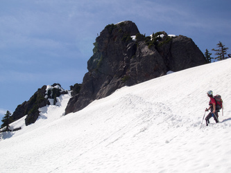
Devils Peak
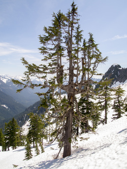
Vocabulary word of the day: epicormic branching
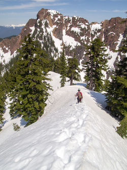
Heading down the NE ridge towards Devils Thumb.
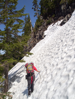
Traversing below a gendarme on the NE ridge.
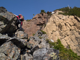
On Devils Thumb's SW ridge.
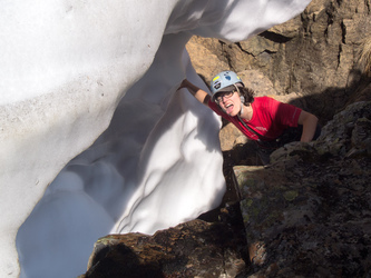
Fresh water!
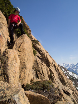
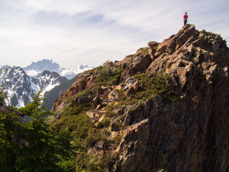
On the summit of Devils Thumb.
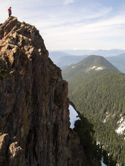
Devils Thumb with Iron Mountain in the background.
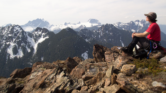
Three Fingers and Whitehorse in the background?
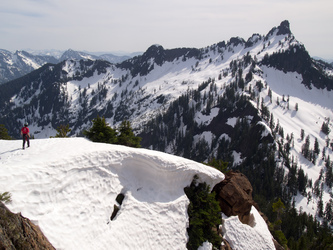
Devils Peak.
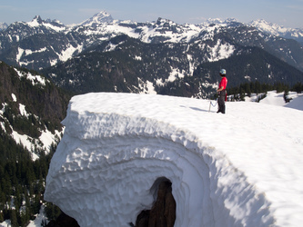
Looking out towards Sloan and Dickerman.
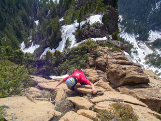
The awesome flakes on Devils Thumb's SW ridge.
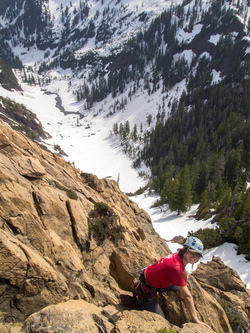
Devils Lake.
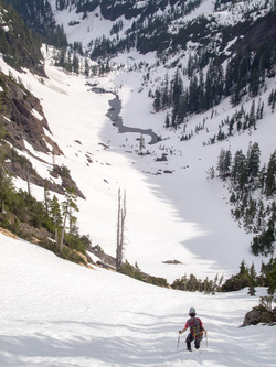
It was a steep snow descent down to Devils Lake. We descended face-in for the first 50 feet.
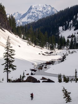
Big Four Mountain over Devils Lake.
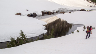
Devils Lake.
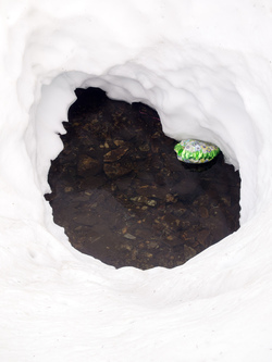
Dear Everybody, Please stop buying helium balloons.
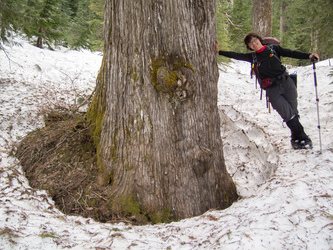
Big cedar!
Copyright © 2024 Gabriel Deal.