On the summit of Pyramid Peak, after a steep, icy climb. The crampon on Lindsay's left foot is falling off.
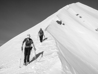
Descending Pyramid Peak.
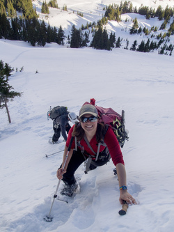
Lindsay descending Pyramid Peak.
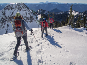
We met up with the rest of the crew here on the summit Copper Mountain.
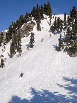
Descending from Copper Mountain. Half our party headed back to break camp and return to the cars at this point.
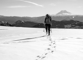
On the summit of Iron Mountain, it was a unique tree-free plateau.
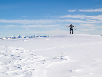
Summit of Iron Mountain.
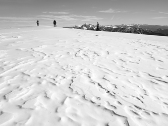
Summit of Iron Mountain.
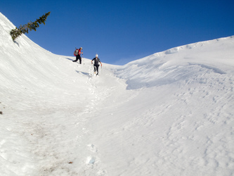
Descending from Iron.
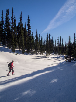
Now it is just me and Matt going to one more summit. Carla and Lindsay headed back.
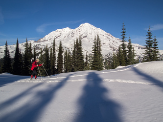
On the summit of Satulick Mountain.
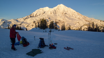
Breaking camp shortly before sunset.
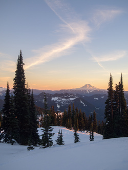
Mount Adams.
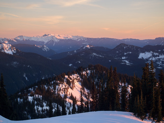
The Goat Rocks over Satulick Mountain.
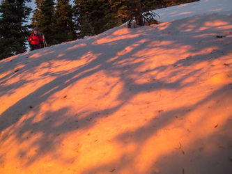
The most vivid evening sunlight I have ever seen.
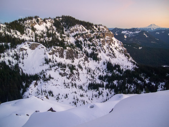
Satulick Mountain and Mount Adams.
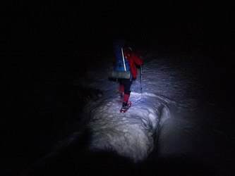
We snowshoed in the dark for a few hours.
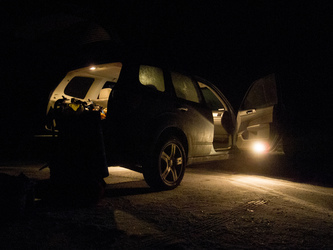
Nice warm car.
Copyright © 2024 Gabriel Deal.