Yana on the summit of Iron Mountain. There were two 4560' closed contours that could have been the summit, we visited both and the northern one seemed like the highest to us.
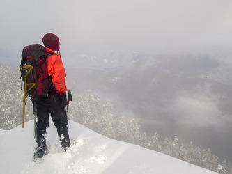
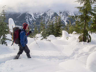
On the summit of Iron Mountain
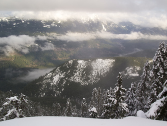
Looking east to the Sauk River and White Chuck River valleys from the summit of Iron Mountain.
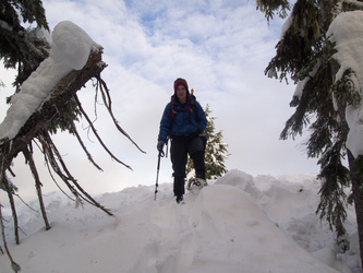
The clouds kept lifting while we were on the summit, making it difficult to leave.
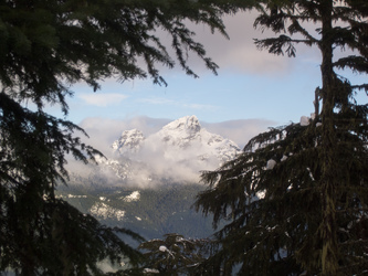
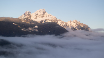
White Chuck Mountain.
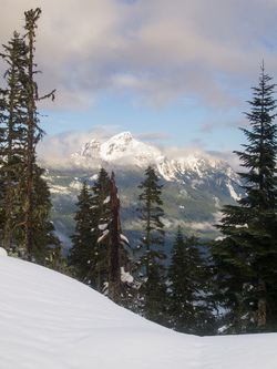
White Chuck Mountain.
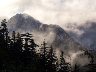
Voodoo Peak.
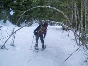
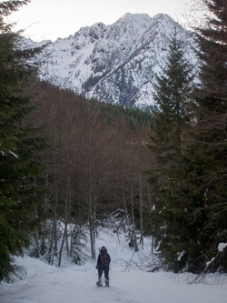
We decided to descend via the logging roads so we would not have to bushwack in the dark.
White Chuck Mountain.
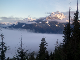
Glacier and Sloan Peak.
Jumbo Mountain.
Road walking in the dark.
Copyright © 2026 Gabriel Deal.