Forbidden Peak via the west ridge
This was my first forced bivy.
Date:
2012/07/09
to 2012/07/11
Elevation gain:
5,615 feet
USGS quad:
Forbidden Peak
Car-to-car:
3 days
-
5 hours 11 minutes
ascending
from
Boston Basin trail head
to
our camp in Boston Basin around 6,200'
-
8 hours 40 minutes
ascending
from
camp
to
summit of Forbidden Peak
-
6 hours 10 minutes
descending
from
summit of Forbidden Peak
to
camp
-
3 hours
descending
from
camp
to
our bivy spot by Midas Creek
-
53 minutes
descending
from
our bivy spot by Midas Creek
to
the trail head
Day 1
Hiking up the Boston Basin trail
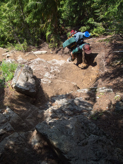
Midas Creek, where we crossed via a sketchy snow bridge
In Boston Basin, with Johannesburg Mountain in the background
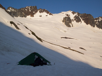
The view from our campsite's kitchen
Boston Peak and Sahale Peak
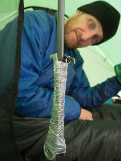
We broke a tent pole. We repaired it with two chock picks, duct tape, and bailing wire
Day 2
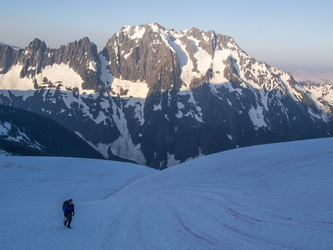
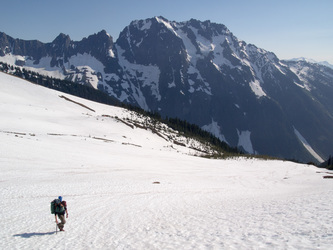
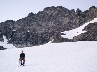
Hiking up to the climb the next morning
The party ahead of us as they ascend the snow finger. According to Cliff Mass, the distinct smog layer is from forest fires in Asia! http://cliffmass.blogspot.com/2012/07/asian-fires-and-fireworks-smoke-up.html
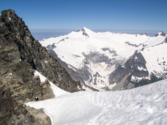
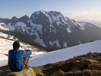
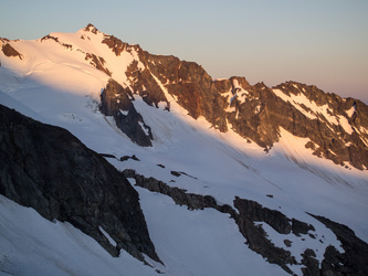
At the col at the top of the snow finger. Eldorado Peak in the background
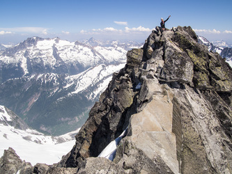
Ian on the summit of Forbidden Peak. I didn't get my camera out once during our ascent
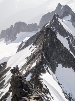
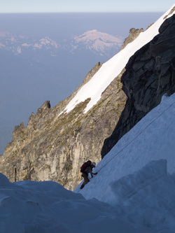
Looking down the west ridge with Mount Torment in the upper right corner
Johannesburg Mountain in the evening light
Sahale Peak
We are finally off the ridge and down the snow finger. Forbidden Peak in the background

We hiked out by headlamp. When we got to Midas Creek, the snow bridge had completely melted out and the creek looked too scary to cross. So we slept on the trail. I was bummed about this because I had a late-morning flight and this delay meant I was going to miss it.
Day 3
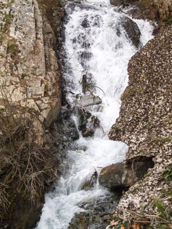
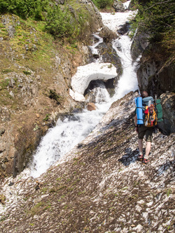
In the light of morning the creek didn't look so scary. We just hopped across it
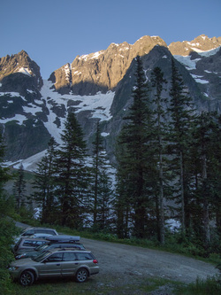
Back at the trail head! My next challenge was to reschedule the flight that I missed because we were unable to cross Midas Creek
Copyright © 2026 Gabriel Deal.