Tibbetts Mountain: No trespassing!
The most difficult part of this trip was finding a spot where I could start the hike without trespassing.
Round-trip distance:
6 miles
Elevation gain:
2,839 feet
Car-to-car:
4 hours 16 minutes
-
2 hours 4 minutes
ascending
from
Hay Canyon Road
to
summit of Tibbetts Mountain
-
1 hour 31 minutes
descending
from
summit of Tibbetts Mountain
to
Hay Canyon Road
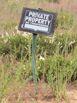
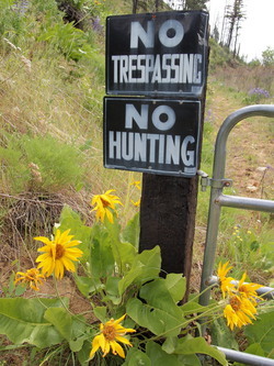
I first tried to climb Tibbetts from Peshastin. But after half a mile of walking I encountered this sign on the nose of the ridge. I respect property owner's rights, so I returned to my car.
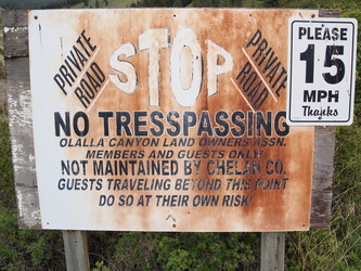
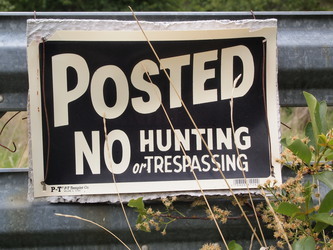
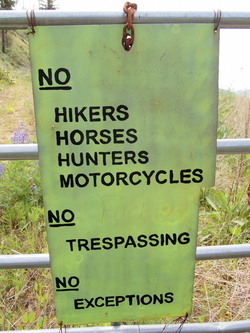
I next tried to find an approach from Olalla Canyon Road. All I found was a high concentration of 'no trespassing' and 'beware of dog' signs.
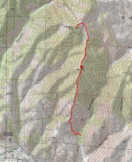
GPS track of my route.
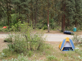
Finally a hiker-friendly spot! This is my trail head at the end of the Hay Canyon County Road.
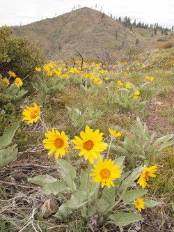
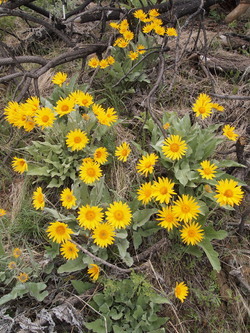
Balsam root with the summit of Tibbetts Mountain in the background.
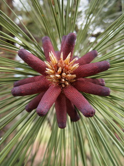
Male ponderosa pine cones.
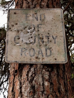
Back at my trail head. The end.
Copyright © 2026 Gabriel Deal.