Trips
Favorite photos
Peak lists
References
Search
Frigid Mountain via Chatter Creek
Date:
2012/05/19
Round-trip distance:
8 miles
Elevation gain:
4,677 feet
Trip type:
scramble
USGS quad:
Big Jim Mountain
Car-to-car:
8 hours 55 minutes
5 hours 5 minutes ascending from Chatter Creek trail head to summit of Frigid Mountain
3 hours 7 minutes descending from summit of Frigid Mountain to Chatter Creek trail head
GPS track of our route, courtesy of Dick Lambe.
Our Seattle Mountaineers party of nine, heading up the Chatter Creek trail.
Crossing Chatter Creek.
Slides below the south peak of Frigid.
Ascending the steep SW slope below the north summit.
Looking SW from the north summit of Frigid Mountain.
David doing a group photo op.
Painters Thumb
Big Jim Mountain
Point 7760 (left) and Big Lou (right).
Cornices between Frigid's north and south summits.
The south summit of Frigid Mountain, it was tough to determine which summit was higher so we went to both. Cashmere in the background.
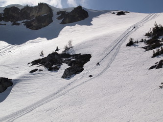
A great glissade down.
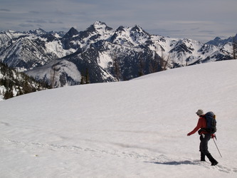
Cashmere Mountain
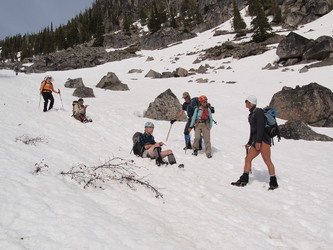
Lots of glissading on the way back.
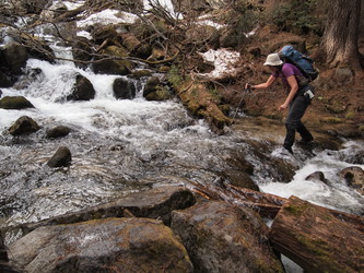
Fording a tributary of Chatter Creek.
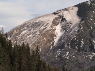
A burn on a shoulder of Cashmere.
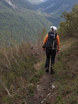
Back on the Chatter Creek trail.
Copyright © 2024 Gabriel Deal.
‹
›
×