At point 5,872' we decided we would avoid some unsafe avvy slopes, give up on the summit, and instead head for point 6,240' ("Little Davie") on Davis's east ridge
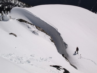
Kevin scouting a safe way off the ridge to Little Davie
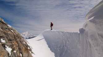
Kevin and Jack Mountain
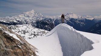
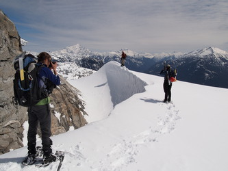
Three people taking photos of Kevin. He placed himself in the optimal position for photography
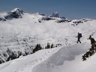
Mount Ross (left) and Triumph over its shoulder

The Pinnacle, Colonial, Snowfield group
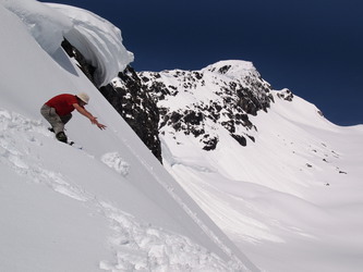
Kevin trundling snowballs down the east side of Davis's south ridge
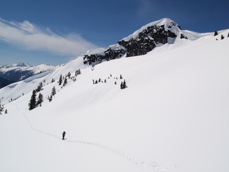
Point 5,872' at upper right, where we diverted our course
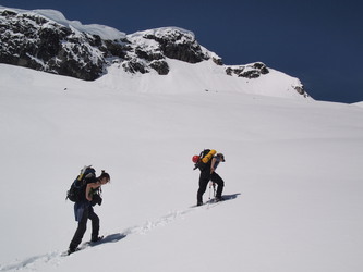

The summit of the peak we dubbed Little Davie

An orographic banner cloud coming off of Snowfield
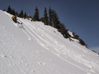
We had some slushy glissades on the way down
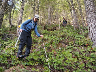
There was a lot of pleasant forested salal slopes
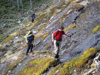
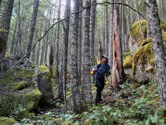
Lindsay passing through a lovely, mossy boulder field
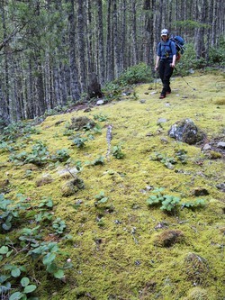
My favorite moss meadow

Back at Gorge Creek!
Copyright © 2024 Gabriel Deal.