Slodal via NW ridge
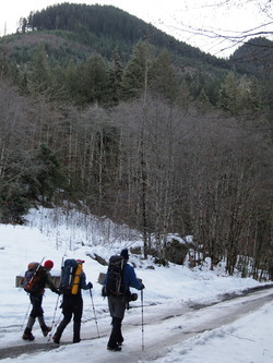
Instead of walking the road between Merry Brook and Bedal Creek, we
parked on the Mountain Loop Highway next to Bedal Creek and ascended
the ridge between Bedal Creek and Chocwich Creek.
Elevation gain:
4,340 feet
Car-to-car:
8 hours
-
4 hours 43 minutes
ascending
from
Mountain Loop at Bedal Creek bridge
to
Summit of Slodal
-
2 hours 37 minutes
descending
from
Summit of Slodal
to
Mountain Loop at Bedal Creek bridge
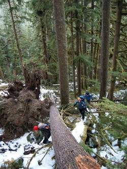
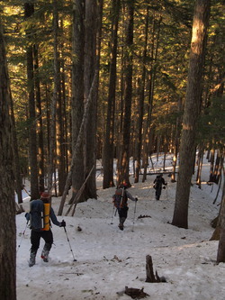
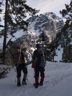
Not a brush-free route
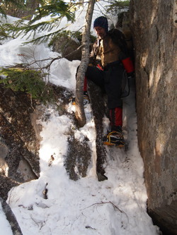
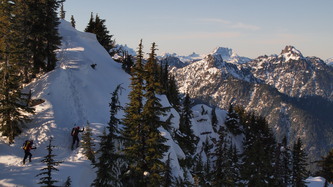
A steep spot we were too lazy to avoid
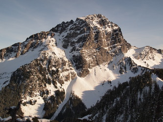
Our first view of Sloan Peak
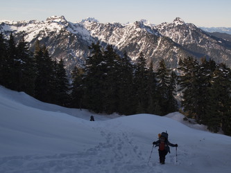
Sloan and the NW ridge of Slodal
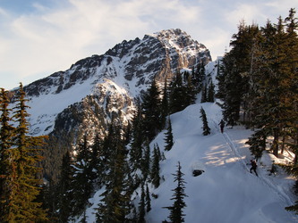
The true summit of Slodal was forested
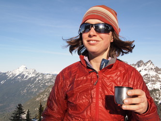
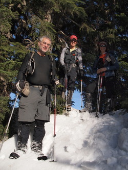
Hot cocoa on a sub-summit of Slodal
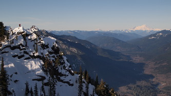
Sloan Peak from Slodal
Matt on one of Slodal's false summits, Baker to the right
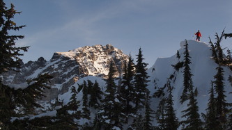
Matt on one of Slodal's false summits, Sloan to the left
Going up on our way down, Forgotten to the right
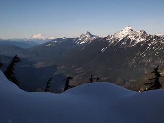
Baker, White Chuck, and Pugh