Margaret and Lillian
I drove past the official Mount Margaret trail head on Road 4934,
drove up the single lane spur road, and parked where the trail starts.
There isn't a gate on this road, although there are two yellow posts
that used to hold a gate. The single lane road was rough, I bottomed
out twice. There was only room for a couple cars to park at the end.
I first hiked to Lake Lillian. This was a very enjoyable walk with
some nice views.
Then I hiked back to Mount Margaret. I found a very faint and easy to
miss boot path that runs east directly uphill to the saddle between
the summit and the southern sub-summit.
On the way back I took the well-traveled boot path that runs from the
summit, over the south summit, and south down to the main trail.
It was a lovely hike, but it is too bad we do not have a real parking
lot at the trail head. Hiking the logging road from the official
trail head would be uninspiring.
Elevation gain:
2,050 feet
Car-to-car:
6 hours 26 minutes
-
1 hour 11 minutes
driving there
from
Lower Queen Anne
to
Mount Margaret trail head (past the gate)
-
2 hours 35 minutes
hiking
from
Mount Margaret trail head
to
Lake Lillian
-
1 hour 29 minutes
hiking
from
Lake Lillian
to
summit of Mount Margaret
-
57 minutes
hiking
from
summit of Mount Margaret
to
Mount Margaret trail head
-
1 hour 30 minutes
driving back
from
Mount Margaret trail head
to
Lower Queen Anne
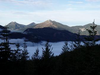
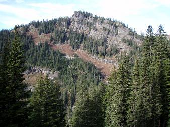
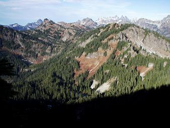
Granite Mountain from the Mount Margaret trail
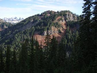
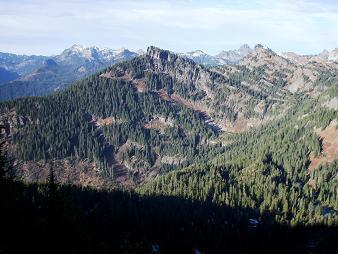
Mount Margaret from the Mount Margaret trail
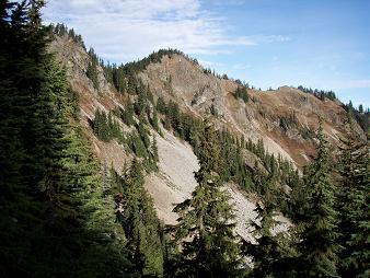
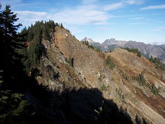
Southwest side of Rampart Ridge SE Peak
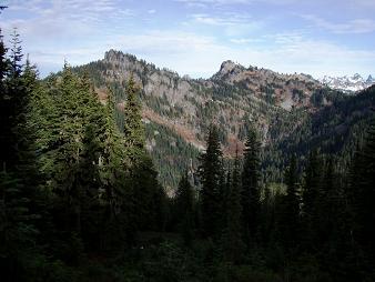
South sides of Dungeon Peak and Rampart Ridge
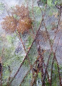
Grasses in ice
South side of Dungeon Peak
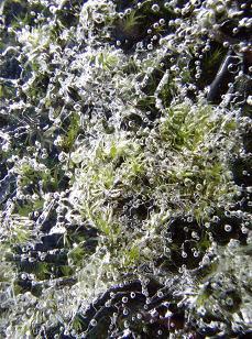
Chaos, ice, bubbles, and moss
Dungeon Peak from Mount Margaret
Rampart Ridge SE Peak from Mount Margaret
SE side of Mount Margaret
Copyright © 2026 Gabriel Deal.