Olallie Meadow from Annette Lake trailhead
Mark and I parked at I-90's exit 47 and skied down the road to the
Annette Lake trailhead. We took a combination of trail, logging road,
and off-trail up to the Iron Horse Trail where it intersects a broad
NW ridge that leads to Olallie Meadows.
We headed up the NW ridge, the first 200 feet above the Iron Horse
were steep and tough with the icy snow. After that we broke into old
growth forest and had a nice stroll up the moderate ridge. The ridge
got steep again right before reaching the meadow, I wished I had my
ice axe for this.
Once we got to Olallie Meadow, the snow changed from icy crud to
lovely powder, with a few patches of ice and of wind-packed slabs, it
made for interesting skiing. We skied a couple runs in the open,
rolling hills of Olallie Meadow, taking a break at the warming hut.
Too soon the day was over and we had to head down. Now I really
wished I had my ice axe, crampons would have been nice too. Plunge
stepping down frozen snow with sporadic sheets of ice is no fun. We
made liberal use of veggie belays.
Elevation gain:
2,520 feet
Trip type:
backcountry ski
USGS quads:
Lost Lake, Snoqualmie Pass
In:
South Fork Snoqualmie Drainage
Car-to-car:
6 hours 50 minutes
-
19 minutes
driving there
from
Lower Queen Anne
to
TNAB rendezvous point
-
42 minutes
driving there
from
TNAB rendezvous point
to
I-90 exit 47
-
5 hours 8 minutes
ascending
from
I-90 exit 47
to
our high point in Olallie Meadow
-
23 minutes
ascending
from
our high point in Olallie Meadow
to
NW corner of Olallie Meadow
-
1 hour 19 minutes
descending
from
NW corner of Olallie Meadow
to
I-90 exit 47
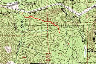
Olallie Meadow from Annette Lake trailhead
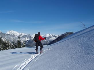
Mark looking at the Snoqualmie Pass peaks from Olallie Meadow
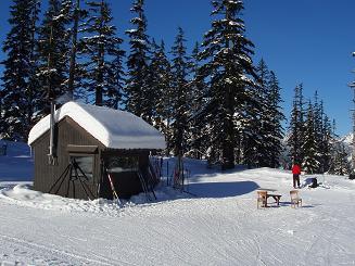
Warming hut in Olallie Meadow
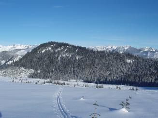
Rockdale Ridge from Olallie Meadow
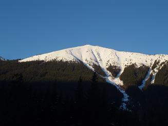
Granite Mountain (Snoqualmie Pass quad) from exit 47
Copyright © 2024 Gabriel Deal.