Davis Peak via trail
I parked at the Davis Peak trailhead on road 134, which is a rough
road and is very rugged near the end, and hiked up the Davis Peak
trail. The trail steadily gains elevation, rarely getting steep or
level, it's a nice trail for gaining elevation quickly.
The Davis Peak lookout is east of the summit on the end of a short
ridge. Long ago the trees around the lookout were chopped down and
they have not grown back, giving the lookout decent views. Only the
four-foot rock walls are left of the lookout.
I continued past the lookout on the bootpath that heads west toward
the summit. The bootpath ended at a subsummit of Davis Peak, I didn't
explore what looked like a challenging scramble to the true summit.
My "summit" had good 360 degree views of the Teanaway, Mount Stuart,
Jolly Mountain, Goat Mountain (Davis Peak quad), and the Snoqualmie
Pass peaks. Except for Goat Mountain (Davis Peak quad) everything was
pretty far in the distance.
I bivvyed in the lookout, which provided good protection from the
wind. In the morning I was surprised by a little snow flurry while I
ate breakfast, my first snow of the summer! It was my day for firsts,
on my way down about a half mile of the trailhead I came upon a bear
ripping up a tree stump, my first bear of the year.
Date:
2006/07/29
to 2006/07/30
Elevation gain:
3,990 feet
In:
Alpine Lakes Wilderness, Cle Elum River Area
Car-to-car:
16 hours 36 minutes
-
1 hour 38 minutes
driving there
from
Lower Queen Anne
to
Last Resort Restaurant
-
24 minutes
driving there
from
Last Resort Restaurant
to
Davis Peak trailhead
-
2 hours 18 minutes
ascending
from
Davis Peak trailhead
to
Davis Peak lookout
-
17 minutes
ascending
from
Davis Peak lookout
to
Davis Peak subsummit
-
14 minutes
descending
from
Davis Peak subsummit
to
Davis Peak lookout
-
2 hours 6 minutes
descending
from
Davis Peak lookout
to
Davis Peak trailhead
-
2 hours 1 minute
driving back
from
Davis Peak trailhead
to
Lower Queen Anne
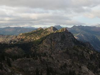
Goat Mountain (Davis Peak quad) from Davis Peak
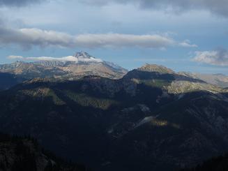
Mount Stuart and Hawkins Mountain from Davis Peak
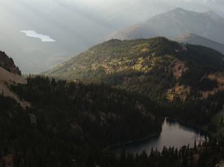
Lake Terence and Waptus Lake from Davis Peak
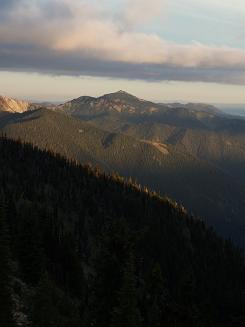
Jolly Mountain from Davis Peak
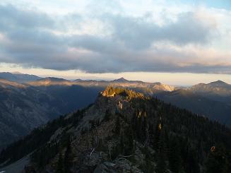
Evening light looking east from Davis Peak
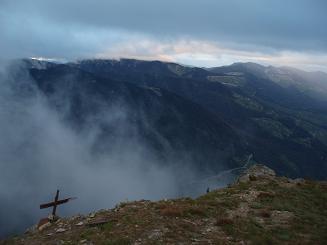
Looking east from the Davis Peak lookout
Copyright © 2024 Gabriel Deal.