Tunnel Vision Peak via Tunnel Creek
We parked on Road 6095 on the hairpin turn where Highway 2 meets
Tunnel Creek. Except for the first 50 feet the road was completely
snow-covered.
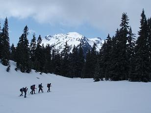
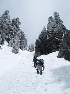
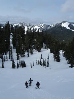
We hiked the road to the Tunnel Creek Trailhead (trail #1061) and then
wandered on and off the snow-obscured trail through open, old-growth
forest. At Hope Lake started turning south then SW following the same
path the PCT follows along the east ridge of Tunnel Vision Peak.
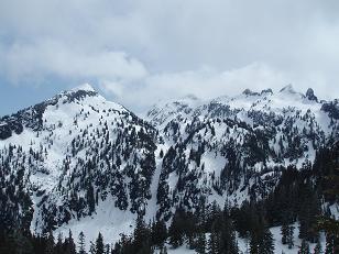
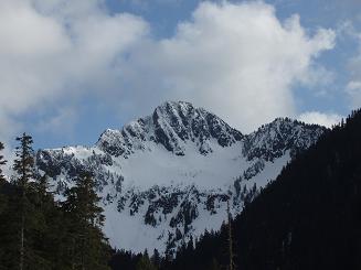
Soon we started getting great views of what I think are Thor Peak and
Nimbus Peak. Bulls Tooth and its subsidiary peaks, Lux Peak, and
Lumiere ridge also started making appearances at this point.
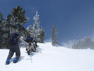
As we traversed on the south side of the ridge we crossed many open
avalanche slopes until we were SE of Tunnel Vision Peak. Here we
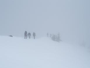
headed north up a steep gully then through open slopes and into the
clouds that enclosed the summit of Tunnel Vision Peak.
On the descent we followed the SE ridge of Tunnel Vision Peak to the
basin at 5,200', which was a very pleasant way to descend. From the
basin we traversed east and rejoined our ascent route.
Elevation gain:
3,600 feet
In:
Alpine Lakes Wilderness
References:
Winter Climbs: One Day Ascents (out of print)
Car-to-car:
10 hours 2 minutes
-
5 hours 37 minutes
ascending
from
Intersection of Highway 2 and Road 6095
to
summit of Tunnel Vision Peak
-
3 hours 49 minutes
descending
from
summit of Tunnel Vision Peak
to
Intersection of Highway 2 and Road 6095
Thor Peak from PCT
Ascending a gully on the SW side of Tunnel Vision Peak
Ascending the SW ridge 50 feet below the summit of Tunnel Vision Peak
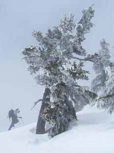
Ascending the SW ridge 30 feet below the summit of Tunnel Vision Peak
The summit of Tunnel Vision Peak
Thor Peak, Nimbus Mountain, and Slippery Slab Tower from S side of Tunnel Vision Peak
Descending on PCT 400 feet above Hope Lake (Lux Peak and Lumiere Ridge in distance?)
Tunnel Vision Peak from near the beginning of trail 1061
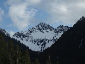
Tunnel Vision Peak from near the beginning of trail 1061
Copyright © 2026 Gabriel Deal.