Earl Peak via Standup Creek
What a perfect trip for a perfect day.
Our group of 11 Mountaineers met on the intersection of Stafford Road
and Road 112. At this point two of our cars became stuck in the snow.
After digging them out, we headed up Road 112 and Standup Creek trail.
At 4,840' where the Standup Creek trail crosses the nose of a ridge,
we left the trail and headed NE up the ridge (toward point 6,459').
This is where the views started, by the time we reached the 6,200'+
pass SE of Earl Peak we had excellent views including Navajo Peak,
Little Navajo (our original destination), and the Stuart Range. It
only got better as we followed Earl Peak's SE ridge to the summit.
The ridge was largely brush free, and we had no problems the few
obstructions we met along the way. A very pleasant route to an
excellent destination for a sunny day.
Elevation gain:
4,240 feet
USGS quad:
Enchantment Lakes
Car-to-car:
8 hours 33 minutes
-
5 hours 19 minutes
ascending
from
intersection of Stafford Road and Road 112
to
summit of Earl Peak
-
2 hours 58 minutes
descending
from
summit of Earl Peak
to
summit of Earl Peak
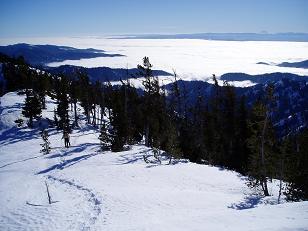
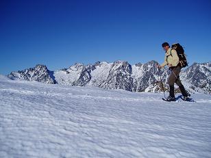
Looking SE from SE ridge of Earl Peak
Little Navaho from SE ridge of Earl Peak
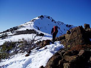
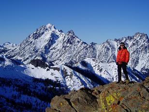
Summit of Earl Peak from SE ridge
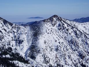
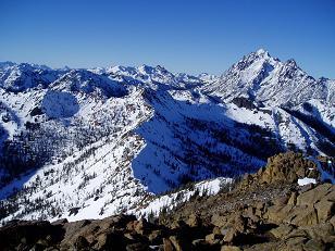
Stuart Range from SE ridge of Earl Peak
Stuart Range from SE ridge of Earl Peak
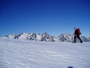
Mount Stuart from summit of Earl Peak
Bean Peak and Mount Stuart from summit of Earl Peak
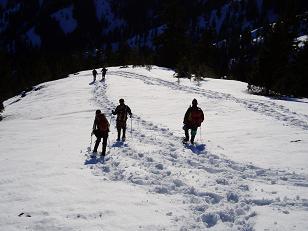
Descending the SE ridge of Earl Peak
Copyright © 2026 Gabriel Deal.