Benson Plateau via Ruckle Ridge
Dad and I parked at the parking lot for the Eagle Creek Campground,
hiked up to the campground, and took the trail up Ruckle Ridge (not
marked on maps). Ruckle Ridge is the ridge between Ruckle Creek and
Eagle Creek. The ridge is often steep, and includes some class 2 and
3 sections, and some exposure. At the more difficult sections the
trail forked so one could follow an easier, lower trail that sidehills
below the ridge top. It's a rolling ridge, so we lost and regained
elevation often, making it more difficult than the net 3,600'
elevation gain. Quite a fun trail.
We descended via the Ruckle Creek trail (trail #405), which was your
normal hikeable trail. Often it breaks out into grassy hillside
meadows. At the bottom the trail merged with the old highway for a
few hundred feet.
Elevation gain:
3,600 feet
Car-to-car:
3 hours 50 minutes
-
2 hours 15 minutes
ascending
from
Ruckle Ridge trailhead (fish hatchery)
to
Benson Plateau
-
1 hour 35 minutes
descending
from
Benson Plateau
to
Ruckle Ridge trailhead (fish hatchery)
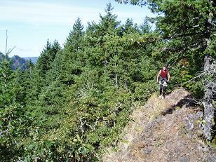
Trail on Ruckle Ridge
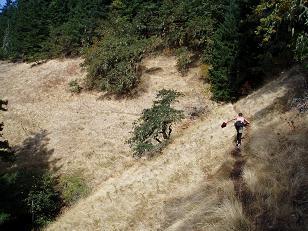
Descending Ruckle Creek trail (trail #405)
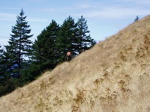
Descending Ruckle Creek trail (trail #405)
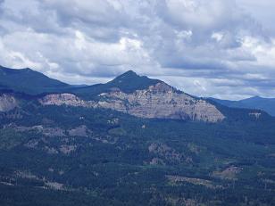
Greenleaf Peak and Red Bluffs from Ruckle Creek trail
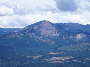
Table Mountain from Ruckle Creek trail
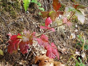
Poison Oak on Ruckle Creek Trail
Copyright © 2026 Gabriel Deal.