Pugh Mountain via trail
This peak has a trail all the way to the top, originally built to
access a lookout that used to be on the peak. The trail is
hiker-friendly to the start of the ridge past Stujack Pass. On the
ridge the trail becomes somewhat scrambly and a bit exposed at times.
Views on the ridge are awesome, particularly surprising to me were the
views of the summit which sprang into sight fully formed when we
turned a corner. We're climbing that? But the trail (built in part
by dynamite) wends its way up and around the summit in a somewhat
trail-like way.
The summit had awesome views, Mount Rainier to the south, Mount Baker
and Mount Shuksan to the north, up-front views of Glacier Peak and
Sloan Peak, White Chuck Mountain looking impressive to the north, and a
host of other peaks. It was a wonderful summit to spend a leisurely
hour in the sun.
Elevation gain:
5,135 feet
USGS quads:
White Chuck Mountain, Pugh Mountain
Car-to-car:
10 hours 19 minutes
-
1 hour 25 minutes
driving there
from
Lower Queene Anne
to
Darrington Ranger Station
-
30 minutes
driving there
from
Darrington Ranger Station
to
trailhead
-
4 hours 50 minutes
ascending
from
trailhead
to
Pugh Mountain summit
-
4 hours 24 minutes
descending
from
Pugh Mountain summit
to
trailhead
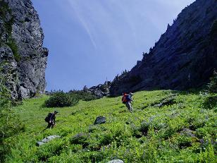
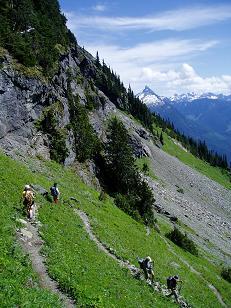
Hiking up Stujack Pass
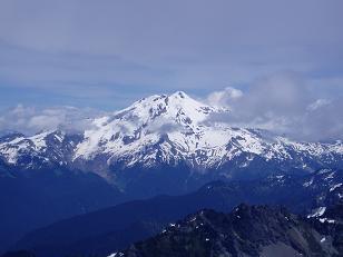
Glacier Peak from Pugh Mountain
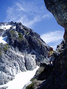
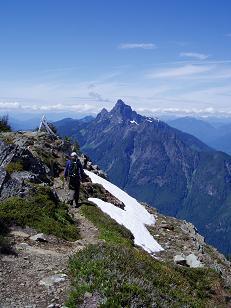
Mary coming down the ridge from Pugh Mountain
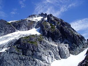
Pugh Mountain from the trail
Whitechuck Mountain from Pugh Mountain trail
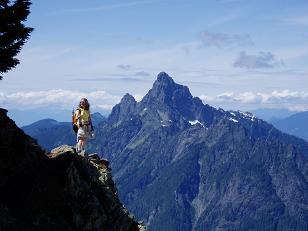
Mary with Whitechuck Mountain in the background
Hiking down Stujack Pass
Copyright © 2026 Gabriel Deal.