Garland Peak
Richard, Lynn, Matt, Kathleen, and I parked half a mile below the
Basalt Pass trailhead (trail #1530?) and hiked the snow covered road
to the trail. Much of the trail was clear of snow, but we were on
snowshoes well before we reached the pass. From the pass we followed
the trail north until around 6,000' where the trail was deeply buried
and we just followed the ridge northward. At around 6,800' we
contoured eastward along the basin to the west ridge of Garland Peak,
then followed the ridge to the summit.
There were a lot of ageing cornices. It was a walk-up except for one
steep, 15 foot spot north of point 6,754' where we turned into the
slope and kicked steps down.
Much of the route has excellent views of the peaks to the west and NW.
And the summit has nice views of the Entiat area.
Elevation gain:
5,200 feet
Car-to-car:
9 hours 58 minutes
-
5 hours 47 minutes
ascending
from
near Basalt Pass trailhead
to
Garland Peak summit
-
3 hours 37 minutes
descending
from
Garland Peak summit
to
Basalt Pass trailhead

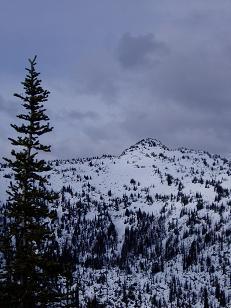
SW side of Garland Peak

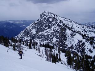
West side of Garland Peak

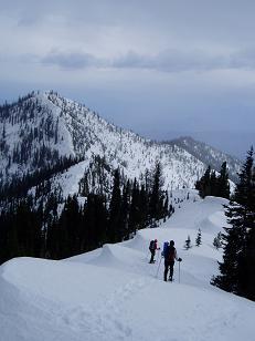
Looking south to point 6754 on ridge
Copyright © 2024 Gabriel Deal.