Huckleberry Mountain
We stuck to the east ridge instead of doing Beckey's gully route to the notch. We did four pitches on the way up. On the descent we rapped the top and bottom pitches and scrambled the two middle pitches.
Date:
2017/09/22
to 2017/09/23
Round-trip distance:
25 miles
Elevation gain:
7,700 feet
Day 1
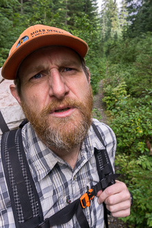
"Are you ready to go crush Huckleberry?!?"
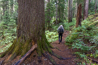
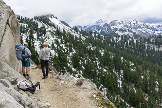
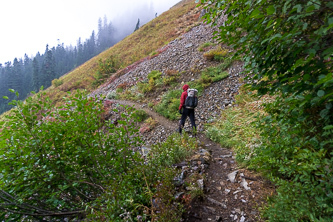
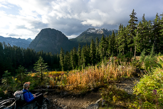
Commonwealth Basin Trail
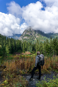
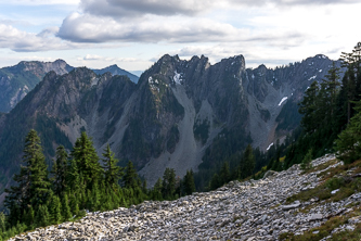
Guye Peak
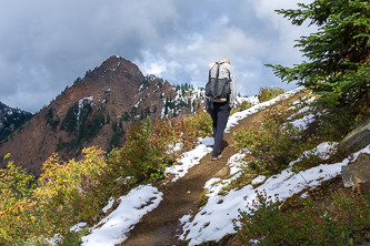
Red Mountain from the PCT
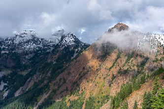
Red Mountain
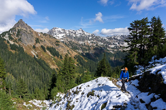
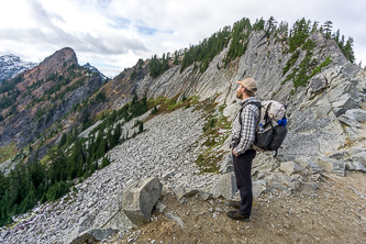
Kendall Katwalk. And more snow than we expected.
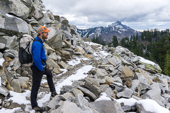
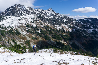
Kendall Peak
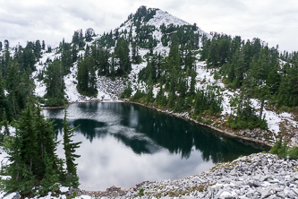
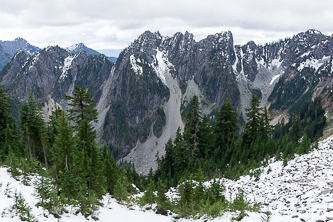
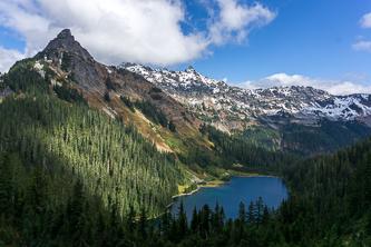
Collar Mountain over Ridge Lake
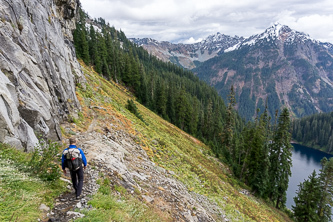
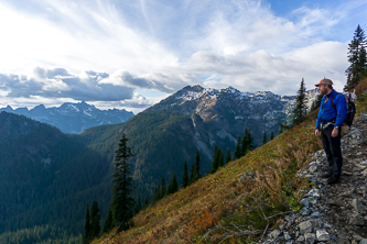
The PCT above Alaska Lake
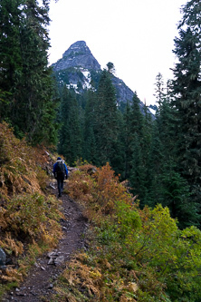
Huckleberry Mountain
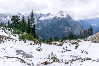
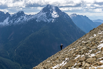
Alta Mountain
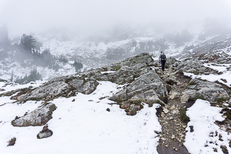
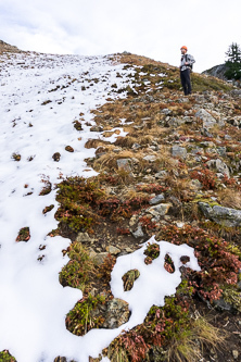
The east side of of Huckleberry Mtn. Too snowy for our camping gear!
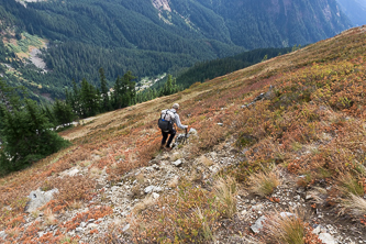
Heading back to the west side of Huckleberry
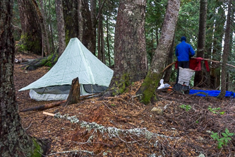
Our camp on the saddle SE of Huckleberry Mtn
Day 2
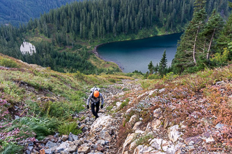
A gully above Joe Lake
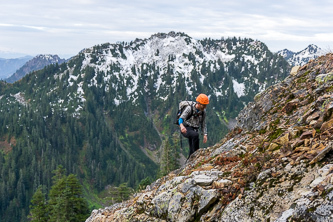
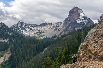
Alaska Mountain
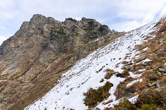
Huckleberry Mountain
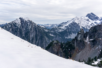
Burnt Boot Peak and Overcoat Peak
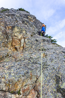
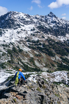
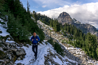
The first pitch on the east ridge of Huckleberry Mountain
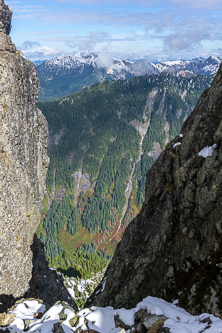
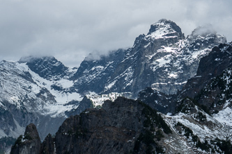
Big Snow Mountain from the notch in Huckleberry Mtn's east ridge
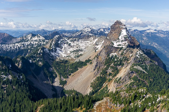
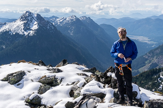
Mount Thomson from the summit of Huckleberry Mountain
Alta and the Gold Creek Drainage
Overcoat and Chimney Rock
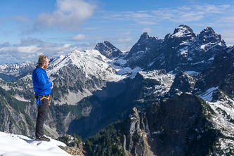
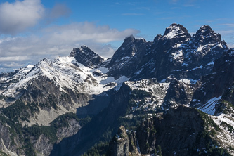
Mount Thomson, Price Mountain, and the Middle Fork Drainage
Overcoat and Chimney Rock
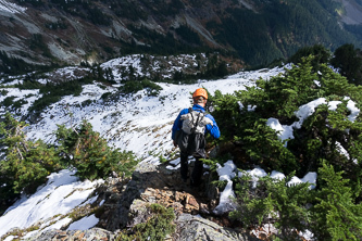
Descending the east ridge with Chikamin Peak in the background
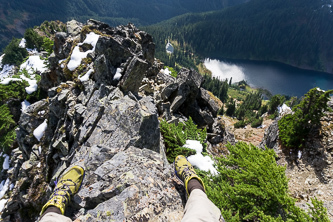
Au cheval on Huckleberry's east ridge
Overcoat and Chimney Rock
Chikamin Peak
Alta Mountain
Mount Thomson over the PCT
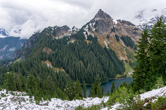
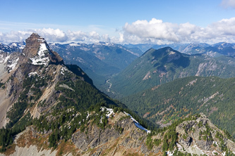
Huckleberry Mountain over Joe Lake
Huckleberry Mountain and Chikamin Peak
Mount Thomson
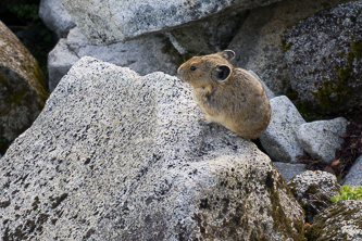
Pika!
Kendall Peak
Red Mountain from Kendall Katwalk
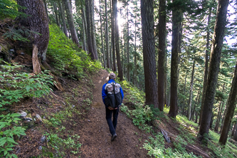
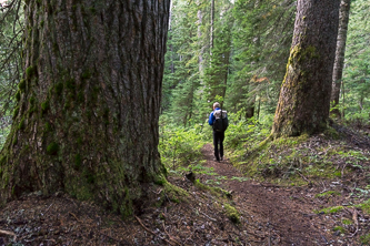
Commonwealth Basin Trail
Copyright © 2024 Gabriel Deal.