Chinook Trail thru-hike
About the Chinook Trail: http://chinooktrails.org/
A data book we compiled during our trip:
https://docs.google.com/spread...Important note: we don't know of a safe, legal way to get from Swale
Canyon to Maryhill State Park. Our route down Maryhill Loops Road
went right through some "no trespassing" signs (we were lucky and got
permission from the rancher). The route that takes the unnamed road
between Rattlesnake/Dooley Roads and Highway 14 also goes through
private property. Taking Highway 97 would be legal, but it is a
steep, curvy highway and did not look safe to us. Perhaps one could
get to Highway 14 via the Dalles Mountain Road and/or the Columbia
Hills State Park?
http://www.parks.wa.gov/489/Co...
Date:
2015/06/14
to 2015/06/25
Round-trip distance:
275 miles
In:
Southern Washington Cascades, Columbia River Gorge
Day 1
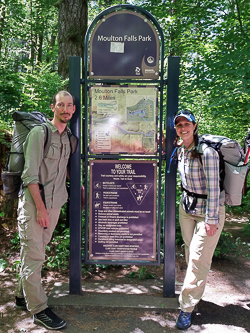
At Moulton Falls State Park, our trail head.
Inscription at the start of the Bells Mountain Trail.
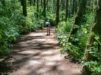
Fording Rock Creek.
We unknowingly crossed Rock Creek at a decommissioned section of the Tarbell Trail. After a short bushwack on fading trail, we found the new, well-maintained trail.
Our camp at the Tarbell Picnic Area.
Day 2
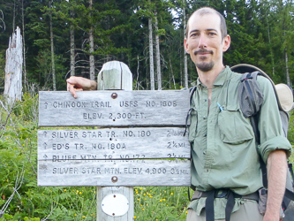
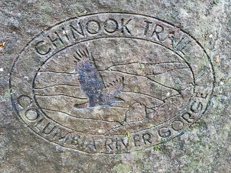
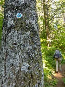
"Chinook Trail USFS No. 180B"
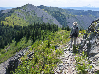
Looking east to the Bluff Mountain Trail from the summit of Silver Star.
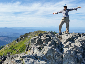
On the summit of Silver Star Mountain.
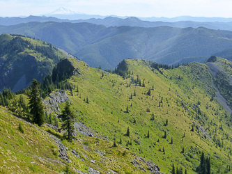
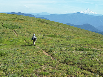
Little Baldy Mountain in the distance.
Road 502
We are on the PCT!
Day 3
Our camp at Trout Creek.
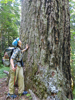
In the Wind River Experimental Forest.
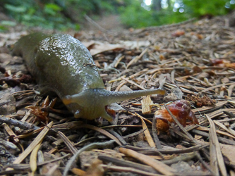
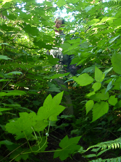
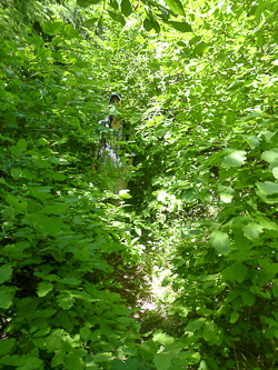
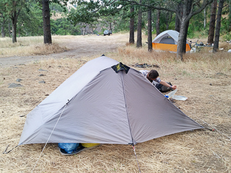
A fellow Chinook Trail thru-hiker?
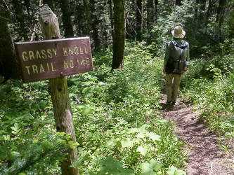
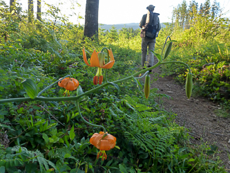
On Grassy Knoll.
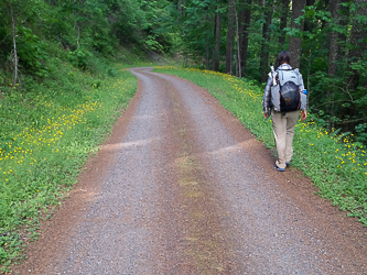
Road 68
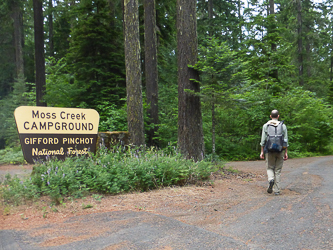
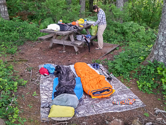
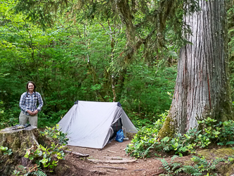
Moss Creek Campground, our home for the night.
Day 4
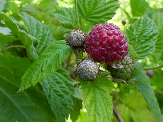
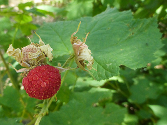
Raspberries. Yum!
The Buck Creek Trail.
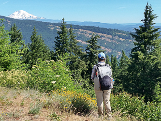
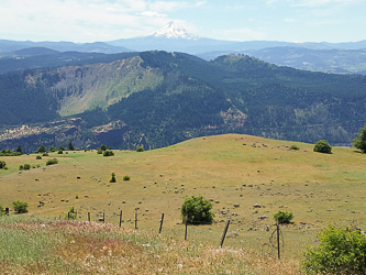
Mount Adams from the summit of Nestor Peak.
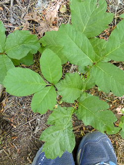
Our first poison oak sighting, on the Buck Creek Trail.
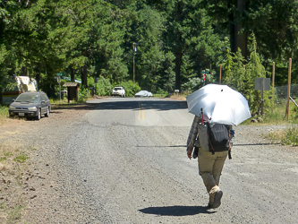
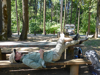
It is hot! Chrome Dome Umbrella to the rescue.
Taking a rest in Northwestern Park by the White Salmon River.
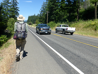
Walking north on Highway 141.
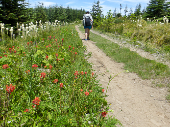
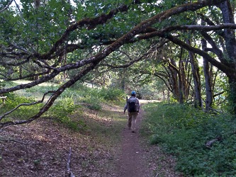
On the Weldon Wagon Trail.
On Bates Road.
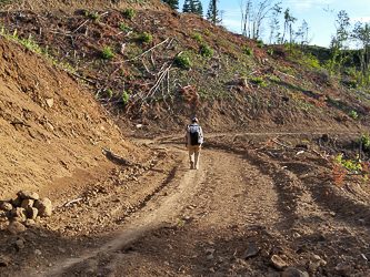
On a road in the upper part of the Hospital Hill road/trail complex.
Near the bottom of Hospital Hill.
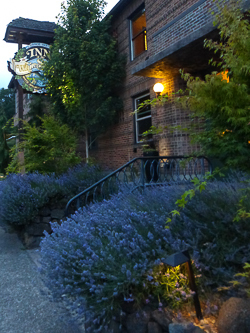
We stayed at The Inn of the White Salmon, a very pleasant place to spend the night.
Day 5
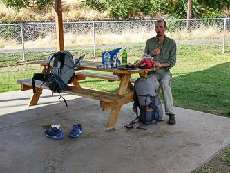
Resupplying on food.
Packing up the food resupply.
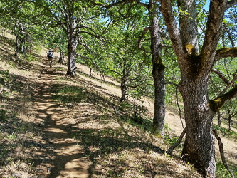
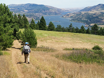
On the south slope of Burdoin Mountain.
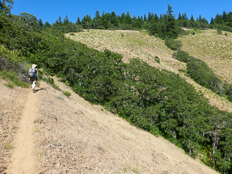
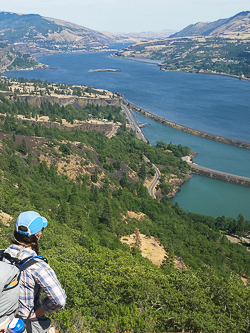
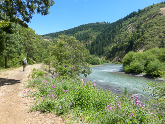
Looking out at the Columbia River from the Coyote Wall area.
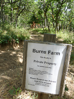
The friendliest "No Trespassing" sign ever.
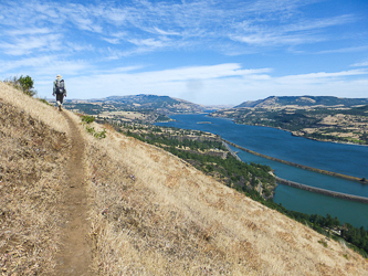
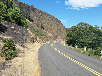
Looking down on Rowland Lake and the Columbia River from the Coyote Wall area.
On Old Highway 8.
Taking a break in the Old Lyle Elementary School yard.
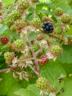
A ripe blackberry. Yum!
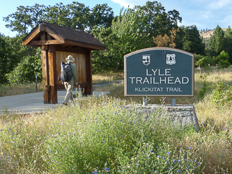
Our camp in a county park next to the Klickitat River, less than a mile from the Lyle Trailhead.
Day 6
Thimbleberry. Yum!
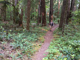
Hiking on the Klickitat Trail along the Klickitat River.
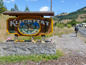
We got some snacks at the friendly Canyon Market in Klickitat.
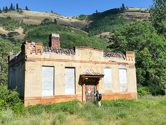
The Klickitat Ice Plant, which is now a bird sanctuary for Chimney Swifts.
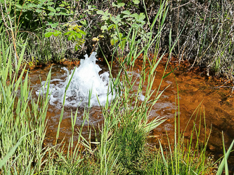
A mineral spring near the ice plant.
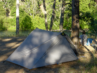
Our camp in the Washington Department of Fish and Wildlife campground by the ice plant.
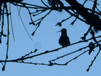
Hummingbird
Day 7
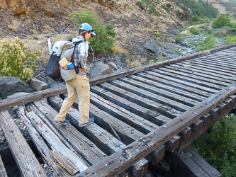
A railroad trestle on the rail trail through Swale Canyon.
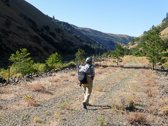
Swale Canyon
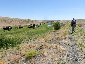
Ranching along Swale Creek.
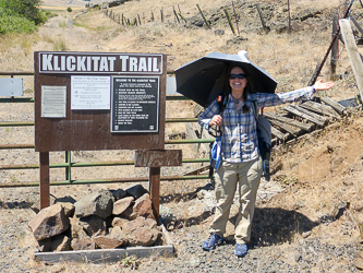
At the eastern terminus of the Klickitat Trail.
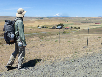
Mount Adams from Dalles Mountain Road.