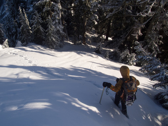
Just 30 vertical feet from the summit of Neiderprum Peak.
Three Fingers?
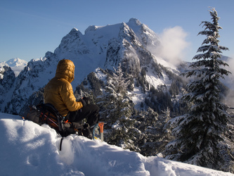
Whitehorse Mountain from the summit of Neiderprum Peak.
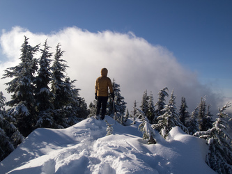
Carla on the tippy-top of Neiderprum Peak.
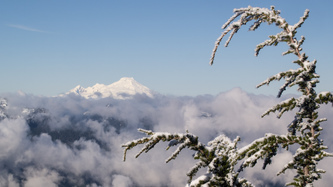
Mount Baker in the distance.
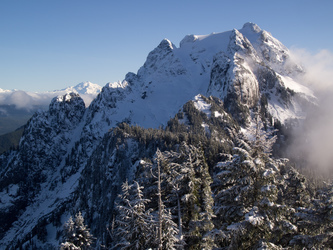
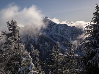
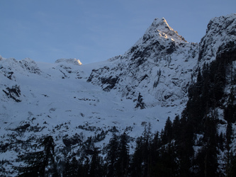
Whitehorse Mountain
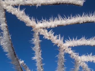
Hoar frost
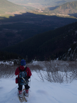
Darrington on the edge of the sunlight.
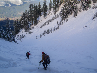
Our last view of Whitehorse's north ridge.
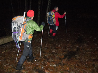
Back at the trail head.
Copyright © 2024 Gabriel Deal.