Eagle Rock via SW ridge
Carla and I drove Road 6517 past the creek that runs south from the
pass between Eagle Rock and Flapjack Point. We parked at the edge of
the clear cut a few hundred feet past the creek. I had the idea that
we would skirt the edge of the clear cut and return to the creek, but
that was not to be.
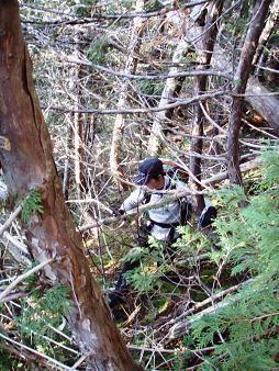
We ended up scrambling the SE ridge of Eagle rock. This ridge doesn't
become very pronounced until 4,400'. The main difficulty in this
route was steep, dirt slopes. Under most conditions these slopes may
not be that difficult, but the bare ground was frozen solid, making
for precarious footing (crampons would have been nice).
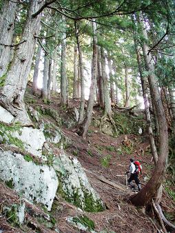
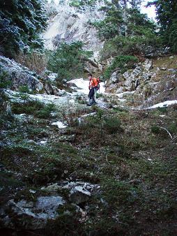
Eventually the ridge became narrow and rocky, requiring increasingly
difficult and brushy scrambling. At this point we went left into the
gully and ascended the rest of the way up the gully.
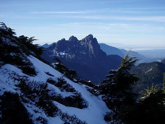
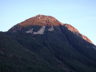
There were great views from the top of Eagle Rock. I also enjoyed
reading the summit register, which was placed in 1973.
USGS quad:
Evergreen Mountain
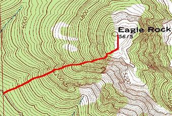
Map of our route up Eagle Rock
Ascending SW slope of Eagle Rock
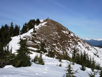
Summit of Eagle Rock
Baring Mountain from Eagle Rock
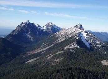
Merchant Peak, Gunn Peak, and Mount Townsend from Eagle Rock
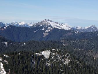
Spire Mountain from Eagle Rock
Gully on NW side of Eagle Rock
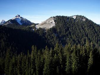
SE side of Flapjack Point
Brush!
SW side of Eagle Rock from logging road
Copyright © 2024 Gabriel Deal.